The Octagon walksWalks from the door: the Octagon Way and its eight short loops
The Octagon walks are nine waymarked routes through the eight downland villages around West Marden. The West Marden loop (2.7 miles) starts in the village, the 15-mile Octagon Way passes a quarter of a mile from the farm, and the rest begin within two and a half miles. You can leave the car where it is.
- Walks
- 9, from 1.7 to 15 miles
- Nearest
- West Marden loop, from the village
- Highest point
- 205 m, above Kingley Vale
- Dogs
- Welcome on every route
What the Octagon is
The Octagon is the name for eight small villages tucked into the Downs between Chichester and Petersfield: Compton, the four Mardens, Stoughton, Racton and Forestside among them. The South Downs National Park publishes two free booklets of walks that join them up, and the routes are waymarked on the ground.
This is quiet country. No main road crosses it, and on a weekday in winter you can walk for two hours and meet nobody. The paths run through beech hangers, along dry chalk valleys and over open downland.
The nine walks
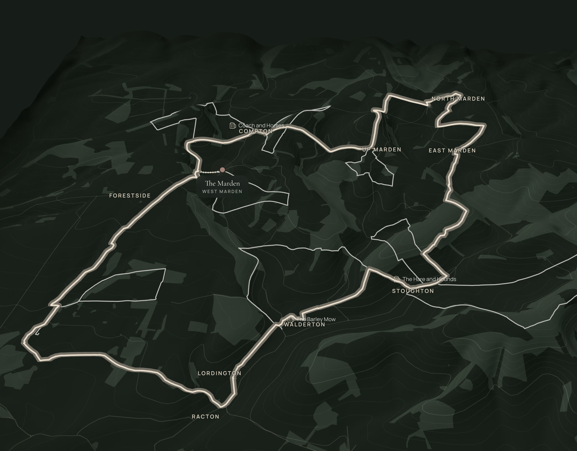
Distances are measured from our own map of each route, and the climb is the total ascent. The 3D map shows every route over the hills, its profile and the way to it from the farm, and each one downloads as a GPX file.
- Octagon Way: 15.2 miles, 462 m of climb, a full day. A loop through Racton, Walderton, Stoughton, East Marden, North Marden, Up Marden, Compton, West Marden and Forestside. It passes a quarter of a mile west of the farm, so you can start and finish at your own front door.
- West Marden (walk 7): 2.7 miles, 81 m of climb, about an hour and a quarter. Starts in the village and finishes past the Victoria Inn.
- Compton to Telegraph Hill (walk 5): 2.9 miles, 86 m of climb. Starts half a mile from the farm and ends by the Coach and Horses in Compton, which may be closed: check it is open before you set out.
- Compton to Compton Down (walk 6): 3.2 miles, 103 m of climb. Open downland and big skies, three quarters of a mile from the farm.
- Up Marden (walk 8): 1.7 miles, 55 m of climb. The shortest, and it passes St Michael’s, a 13th-century church alone on the hill.
- Walderton to Watergate (walk 2): 3.5 miles, 91 m of climb, with the Barley Mow in Walderton.
- Stoughton to Pitlands Farm (walk 3): 2.3 miles, 100 m of climb, with the Hare and Hounds in Stoughton.
- Stoughton to Kingley Vale (walk 4): 4.1 miles, 168 m of climb, the hilliest of the short walks. It climbs to 205 m on Bow Hill and the ancient yews of Kingley Vale.
- Stansted Park (walk 1): 2.7 miles, 38 m of climb, almost flat, through the parkland and avenues of Stansted Park.
Which to choose
For a first morning, do the West Marden loop: it needs no car and no planning, and it ends at the pub. With a dog that needs a proper run, take either Compton walk. For a short winter afternoon with the light going, Up Marden is under an hour and the church is worth the walk on its own.
For a day out, the Octagon Way is the one. Fifteen miles is six to seven hours at an easy pace, and there are pubs on the route at Walderton and Stoughton, so lunch takes care of itself. Book a table at weekends. The Coach and Horses in Compton may be closed, so check it is open before you set out.
After rain the chalk paths are slippery and the valley bottoms are muddy from November to March. Bring boots. There is a wood burner to come back to.
Maps and directions
The South Downs National Park’s booklets have turn-by-turn directions: the Octagon short walks booklet and the Octagon Way leaflet. The area is on Ordnance Survey Explorer map OL8, Chichester.
Our route lines follow mapped footpaths from OpenStreetMap and can be up to 100 m out where a path crosses an open field, so carry the booklet as well as your phone. Mobile signal comes and goes in the valleys.
Questions
Good to know.
Can you walk from the farm without driving?
Yes. The West Marden loop starts in the village, the Octagon Way passes a quarter of a mile from the farm, and both Compton walks start within three quarters of a mile, reached on foot by footpath and lane.
How long is the Octagon Way?
The loop measures 15.2 miles (24.4 km) with 462 m of climb. The booklet gives 18 miles, which includes detours to each village church. Allow six to seven hours.
Are the Octagon walks suitable for dogs?
Yes. They are on public footpaths and bridleways. Livestock graze some of the fields along the routes, so dogs need to be on a lead there, and there are stiles on some paths. Barley Cottage is the one that takes a dog.
Which pubs are on the walks?
The Victoria Inn in West Marden, the Hare and Hounds in Stoughton and the Barley Mow in Walderton are all on a route. The Coach and Horses in Compton is too, but check it is open before you set out. Our pub guide has what each is good for.
Is there a walk suitable for a pushchair or wheelchair?
Stansted Park has a surfaced, level out-and-back route described in the booklet. The other walks cross fields and stiles and are not suitable for wheels.
Last updated 14 November 2026.
Book with us, not a platform
Come and stay.
Three homes on one farm, no booking fees, and a real person on WhatsApp before, during and after.
Local · Ancient yew forest
Kingley Vale
Kingley Vale is an old yew forest below four Bronze Age barrows, about 5 miles from the farm. Two ways in, dogs on leads, free and open all year.
Local · Where to eat and drink
Pubs
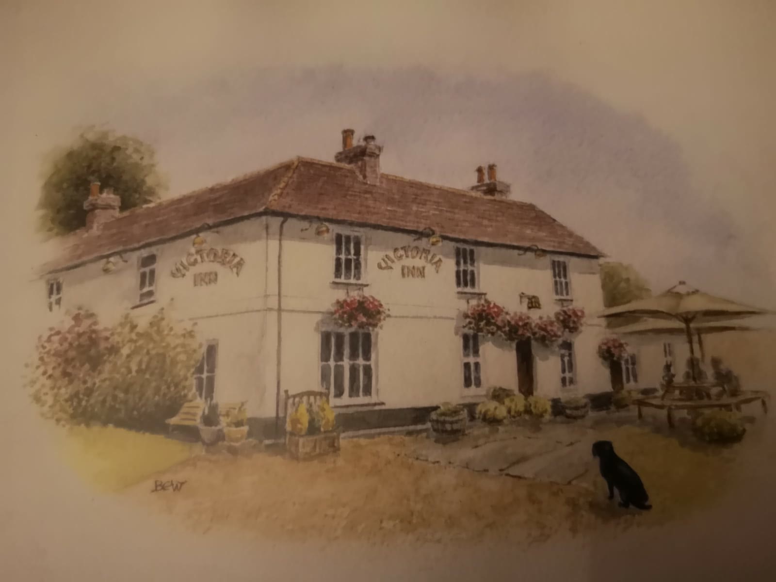
The Victoria Inn is a very short walk from the farm. Seven more country pubs are within 7 miles, with distances, dogs, food and which to ring first.
Breaks · Boots by the door
Walking holidays
Nine waymarked walks start within 2.5 miles of the homes and the South Downs Way is 10 minutes by car. Wood burners to come back to. From £896.
Breaks · Bring the dog
Dog-friendly stays
Barley Cottage takes one well-behaved dog for £50 a stay. Footpaths start at the gate, the village pub is a short walk and Chichester is 10 miles.
Local · Long-distance paths
South Downs Way
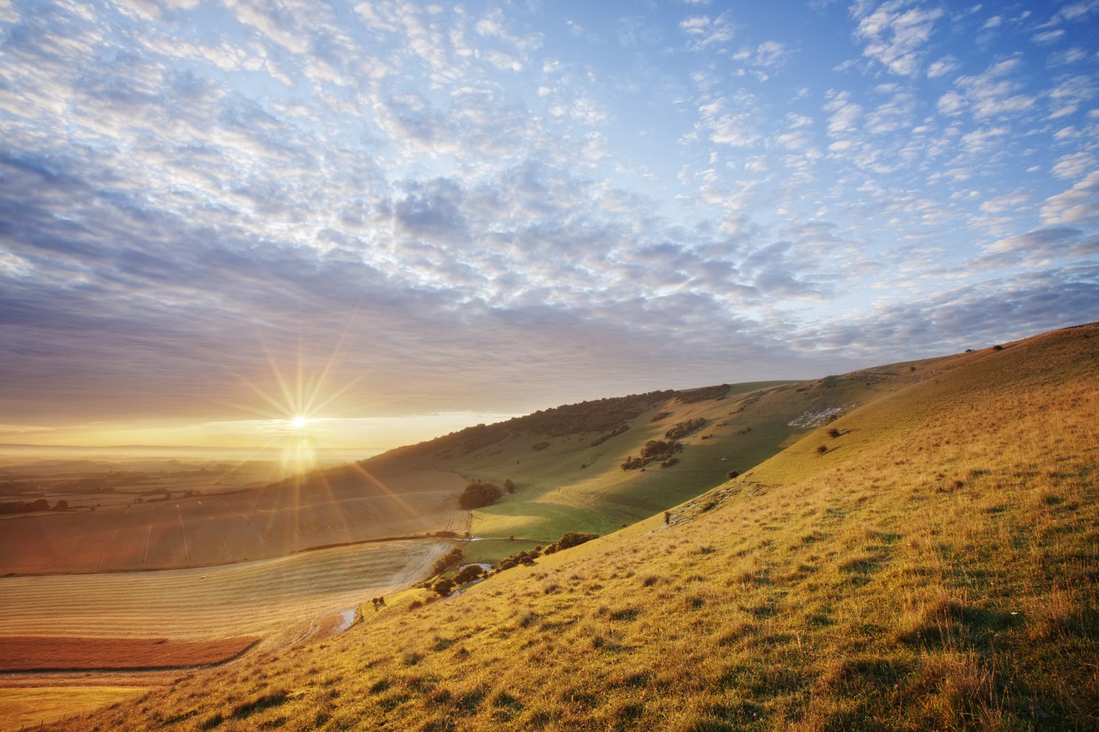
Join the South Downs Way at Harting Down, about 5 miles from the farm. Also the Monarch’s Way, the Sussex Border Path and the Centurion Way by bike.
Local · The villages
The Mardens
West, Up, East and North Marden, with Compton, Stoughton and Racton: old churches, a ruined folly, a village shop and tea room, and the 54 bus.